The Kiptons hub and The Pub
Introduction
The photograph on this page of The Kiptons hub and The Pub by Evelyn Simak as part of the Geograph project.
The Geograph project started in 2005 with the aim of publishing, organising and preserving representative images for every square kilometre of Great Britain, Ireland and the Isle of Man.

There are currently over 7.5m images from over 14,400 individuals and you can help contribute to the project by visiting https://www.geograph.org.uk
The Kiptons hub and The Pub
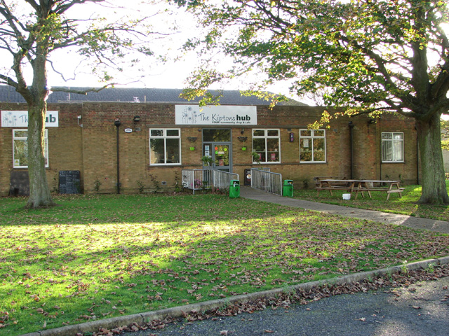
Image: © Evelyn Simak Taken: 1 Nov 2014
This building, which used to be the Ration store, is situated just north of the former NAAFI of RAF West Raynham which was closed in 1994. The airfield's buildings have since been converted to private or industrial uses.
Images are licensed for reuse under creativecommons.org/licenses/by-sa/2.0
Image Location
Latitude
52.792167
Longitude
0.735729