West Tytherley Methodist Church
Introduction
The photograph on this page of West Tytherley Methodist Church by Maigheach-gheal as part of the Geograph project.
The Geograph project started in 2005 with the aim of publishing, organising and preserving representative images for every square kilometre of Great Britain, Ireland and the Isle of Man.

There are currently over 7.5m images from over 14,400 individuals and you can help contribute to the project by visiting https://www.geograph.org.uk
West Tytherley Methodist Church
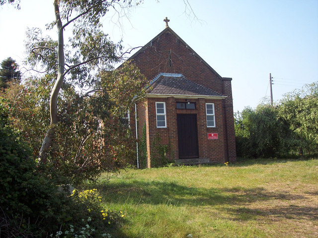
Image: © Maigheach-gheal Taken: 4 May 2007
When I arrived at the church there was a roe deer buck grazing on the grass at the front.
Images are licensed for reuse under creativecommons.org/licenses/by-sa/2.0
Image Location


Leaflet Map data © OpenStreetMap
Latitude
51.064458
Longitude
-1.610934