Wardle's Bridge Inn
Introduction
The photograph on this page of Wardle's Bridge Inn by Oliver Dixon as part of the Geograph project.
The Geograph project started in 2005 with the aim of publishing, organising and preserving representative images for every square kilometre of Great Britain, Ireland and the Isle of Man.

There are currently over 7.5m images from over 14,400 individuals and you can help contribute to the project by visiting https://www.geograph.org.uk
Wardle's Bridge Inn
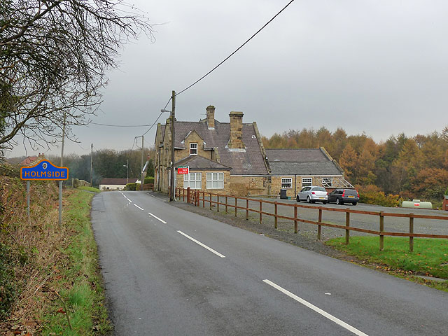
Image: © Oliver Dixon Taken: 31 Oct 2014
Inn and restaurant now closed. The property is up for sale as a development opportunity with planning permission granted for ten mews type dwellings.
Images are licensed for reuse under creativecommons.org/licenses/by-sa/2.0
Image Location
Latitude
54.834101
Longitude
-1.663542