Village sign for Quaking Houses
Introduction
The photograph on this page of Village sign for Quaking Houses by Oliver Dixon as part of the Geograph project.
The Geograph project started in 2005 with the aim of publishing, organising and preserving representative images for every square kilometre of Great Britain, Ireland and the Isle of Man.

There are currently over 7.5m images from over 14,400 individuals and you can help contribute to the project by visiting https://www.geograph.org.uk
Village sign for Quaking Houses
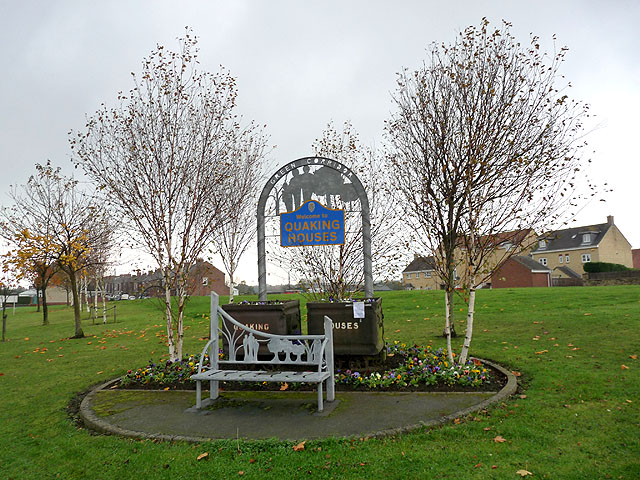
Image: © Oliver Dixon Taken: 31 Oct 2014
This green corridor at the eastern end of the former mining village of Quaking Houses is on the site of the old coal mine. The old pit wheel can be seen in the background. The name possibly derives from being originally settled by Quakers, prior to the development of the mine.
Images are licensed for reuse under creativecommons.org/licenses/by-sa/2.0
Image Location
Latitude
54.853167
Longitude
-1.70388