Public footpath, War Cleave Wood
Introduction
The photograph on this page of Public footpath, War Cleave Wood by Christopher Hilton as part of the Geograph project.
The Geograph project started in 2005 with the aim of publishing, organising and preserving representative images for every square kilometre of Great Britain, Ireland and the Isle of Man.

There are currently over 7.5m images from over 14,400 individuals and you can help contribute to the project by visiting https://www.geograph.org.uk
Public footpath, War Cleave Wood
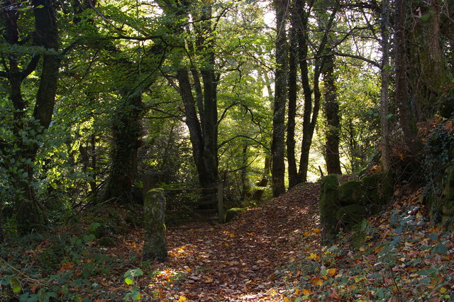
Image: © Christopher Hilton Taken: 27 Oct 2014
The footpath swings right, whilst beyond the gate is the private Warcleave Cottage.
Images are licensed for reuse under creativecommons.org/licenses/by-sa/2.0
Image Location
Latitude
50.675818
Longitude
-3.854114