Field near Coldstone Farm
Introduction
The photograph on this page of Field near Coldstone Farm by Derek Harper as part of the Geograph project.
The Geograph project started in 2005 with the aim of publishing, organising and preserving representative images for every square kilometre of Great Britain, Ireland and the Isle of Man.

There are currently over 7.5m images from over 14,400 individuals and you can help contribute to the project by visiting https://www.geograph.org.uk
Field near Coldstone Farm
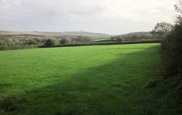
Image: © Derek Harper Taken: 1 Nov 2014
Part of Coldstone Farm (in Image http://list.english-heritage.org.uk/resultsingle.aspx?uid=1107431&searchtype=mapsearch ) can be made out on the left. This view is from the lane linking Park lane to Collard Lane. The distant hilltop clump is Hemerdon Ball.
Images are licensed for reuse under creativecommons.org/licenses/by-sa/2.0
Image Location


Leaflet Map data © OpenStreetMap
Latitude
50.430876
Longitude
-4.044333