The Olton Tavern
Introduction
The photograph on this page of The Olton Tavern by Richard Law as part of the Geograph project.
The Geograph project started in 2005 with the aim of publishing, organising and preserving representative images for every square kilometre of Great Britain, Ireland and the Isle of Man.

There are currently over 7.5m images from over 14,400 individuals and you can help contribute to the project by visiting https://www.geograph.org.uk
The Olton Tavern
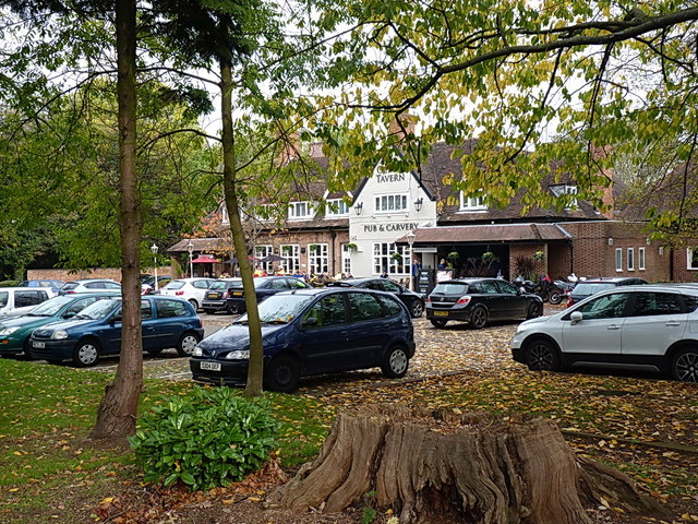
Image: © Richard Law Taken: 31 Oct 2014
A relatively modern town pub at the roundabout on Hobs Moat Road.
Images are licensed for reuse under creativecommons.org/licenses/by-sa/2.0
Image Location
Latitude
52.439193
Longitude
-1.783417