A693 entering Oxhill
Introduction
The photograph on this page of A693 entering Oxhill by Oliver Dixon as part of the Geograph project.
The Geograph project started in 2005 with the aim of publishing, organising and preserving representative images for every square kilometre of Great Britain, Ireland and the Isle of Man.

There are currently over 7.5m images from over 14,400 individuals and you can help contribute to the project by visiting https://www.geograph.org.uk
A693 entering Oxhill
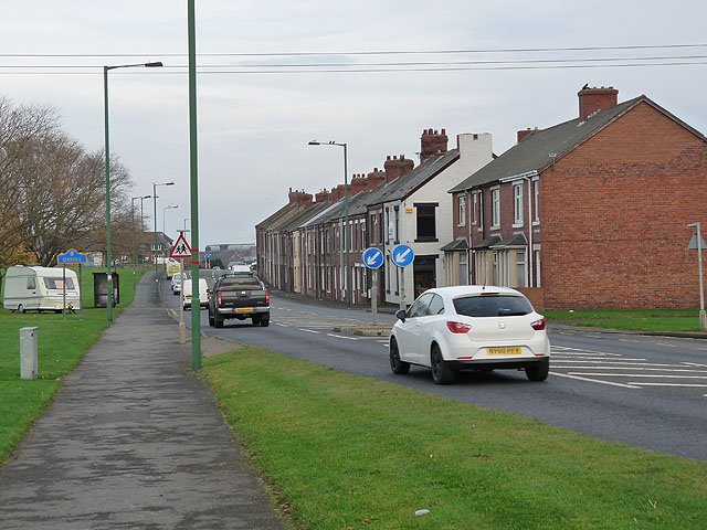
Image: © Oliver Dixon Taken: 31 Oct 2014
The busy A693 which runs from Castleside to Chester-le-Street at the western boundary of Oxhill, a suburb of Stanley.
Images are licensed for reuse under creativecommons.org/licenses/by-sa/2.0
Image Location
Latitude
54.864875
Longitude
-1.714233