Alfred Street, Maesteg
Introduction
The photograph on this page of Alfred Street, Maesteg by Jaggery as part of the Geograph project.
The Geograph project started in 2005 with the aim of publishing, organising and preserving representative images for every square kilometre of Great Britain, Ireland and the Isle of Man.

There are currently over 7.5m images from over 14,400 individuals and you can help contribute to the project by visiting https://www.geograph.org.uk
Alfred Street, Maesteg
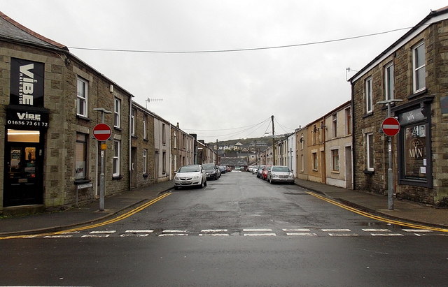
Image: © Jaggery Taken: 30 Oct 2014
Viewed across Castle Street looking towards Maesteg Swimming Pool. Vibe http://www.geograph.org.uk/photo/4227607 is on the left, MAN http://www.geograph.org.uk/photo/4227631 on the right.
Images are licensed for reuse under creativecommons.org/licenses/by-sa/2.0
Image Location
Latitude
51.608033
Longitude
-3.655732