Treharne Row, Maesteg
Introduction
The photograph on this page of Treharne Row, Maesteg by Jaggery as part of the Geograph project.
The Geograph project started in 2005 with the aim of publishing, organising and preserving representative images for every square kilometre of Great Britain, Ireland and the Isle of Man.

There are currently over 7.5m images from over 14,400 individuals and you can help contribute to the project by visiting https://www.geograph.org.uk
Treharne Row, Maesteg
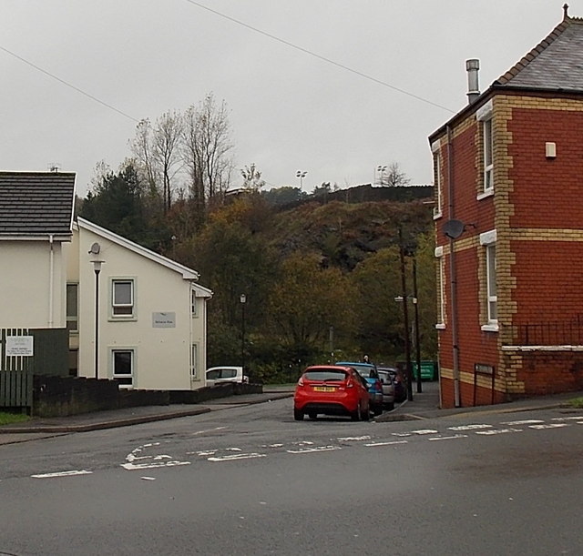
Image: © Jaggery Taken: 30 Oct 2014
Viewed across the A4063 Castle Street. Treharne Row extends for 50 metres, ending near the east bank of the River Llynfi.
Images are licensed for reuse under creativecommons.org/licenses/by-sa/2.0
Image Location
Latitude
51.610756
Longitude
-3.660308