Zoar Chapel of Rest, Maesteg
Introduction
The photograph on this page of Zoar Chapel of Rest, Maesteg by Jaggery as part of the Geograph project.
The Geograph project started in 2005 with the aim of publishing, organising and preserving representative images for every square kilometre of Great Britain, Ireland and the Isle of Man.

There are currently over 7.5m images from over 14,400 individuals and you can help contribute to the project by visiting https://www.geograph.org.uk
Zoar Chapel of Rest, Maesteg
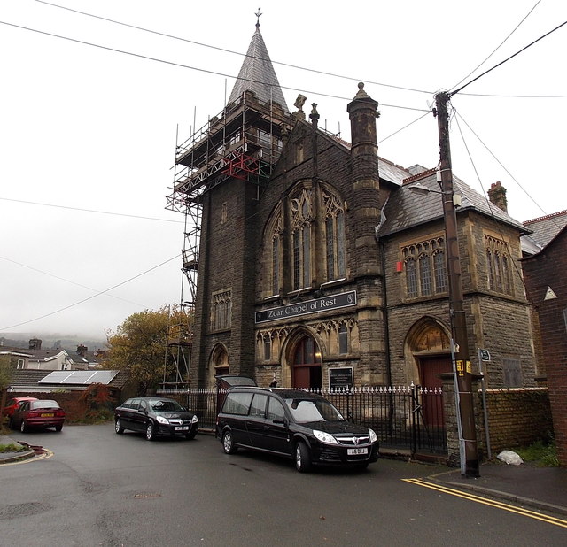
Image: © Jaggery Taken: 30 Oct 2014
The building on the corner of Zoar Avenue and Zoar Place used to be Zoar Independent Chapel. After the chapel closed in 1978, it was converted for use as a chapel of rest.
Images are licensed for reuse under creativecommons.org/licenses/by-sa/2.0
Image Location
Latitude
51.611044
Longitude
-3.659019