Footpath by the Aller Brook
Introduction
The photograph on this page of Footpath by the Aller Brook by jeff collins as part of the Geograph project.
The Geograph project started in 2005 with the aim of publishing, organising and preserving representative images for every square kilometre of Great Britain, Ireland and the Isle of Man.

There are currently over 7.5m images from over 14,400 individuals and you can help contribute to the project by visiting https://www.geograph.org.uk
Footpath by the Aller Brook
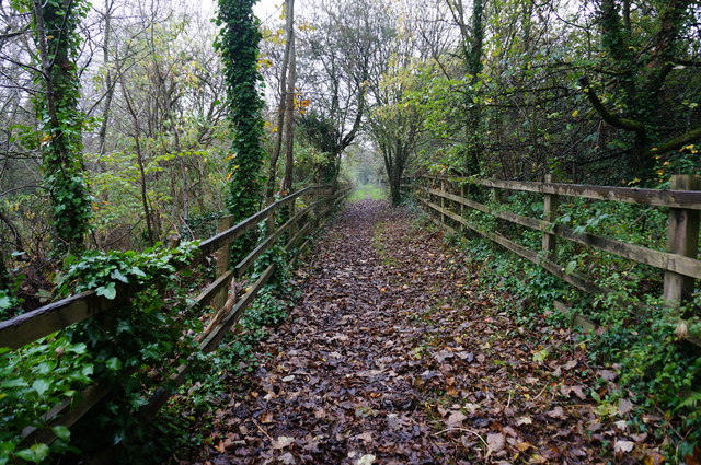
Image: © jeff collins Taken: 29 Oct 2014
This long and thin strip of land between the A380 Besigheim Way on the right and the Aller Brook down the bank on the left is part of the Aller Brook Nature Reserve.
Images are licensed for reuse under creativecommons.org/licenses/by-sa/2.0
Image Location
Latitude
50.528408
Longitude
-3.593088