Tufnell Park Road
Introduction
The photograph on this page of Tufnell Park Road by David Howard as part of the Geograph project.
The Geograph project started in 2005 with the aim of publishing, organising and preserving representative images for every square kilometre of Great Britain, Ireland and the Isle of Man.

There are currently over 7.5m images from over 14,400 individuals and you can help contribute to the project by visiting https://www.geograph.org.uk
Tufnell Park Road
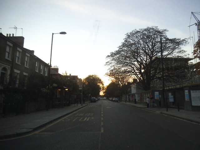
Image: © David Howard Taken: 31 Oct 2014
This road was closed last time I was here recently for road works near the traffic lights at the far end, and everyone was jamming up Holloway Road northbound as a result. I also discovered every road between here and Archway on the left of Holloway Road has been closed, causing much of the problems directly but allowing me to cover them with the camera if nothing else.
Images are licensed for reuse under creativecommons.org/licenses/by-sa/2.0
Image Location
Latitude
51.558199
Longitude
-0.121657