London Road, Leicester
Introduction
The photograph on this page of London Road, Leicester by David Hallam-Jones as part of the Geograph project.
The Geograph project started in 2005 with the aim of publishing, organising and preserving representative images for every square kilometre of Great Britain, Ireland and the Isle of Man.

There are currently over 7.5m images from over 14,400 individuals and you can help contribute to the project by visiting https://www.geograph.org.uk
London Road, Leicester
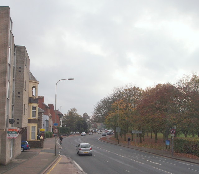
Image: © David Hallam-Jones Taken: 30 Oct 2014
The section of London Road (the A6) between Evington Road and The Old Horse public house, with the north-eastern boundary of Victoria Park on the right. The city centre lies 4-5 minutes drive away, behind the photographer.
Images are licensed for reuse under creativecommons.org/licenses/by-sa/2.0
Image Location
Latitude
52.625882
Longitude
-1.117556