South Parade side of a low railway bridge in Maesteg
Introduction
The photograph on this page of South Parade side of a low railway bridge in Maesteg by Jaggery as part of the Geograph project.
The Geograph project started in 2005 with the aim of publishing, organising and preserving representative images for every square kilometre of Great Britain, Ireland and the Isle of Man.

There are currently over 7.5m images from over 14,400 individuals and you can help contribute to the project by visiting https://www.geograph.org.uk
South Parade side of a low railway bridge in Maesteg
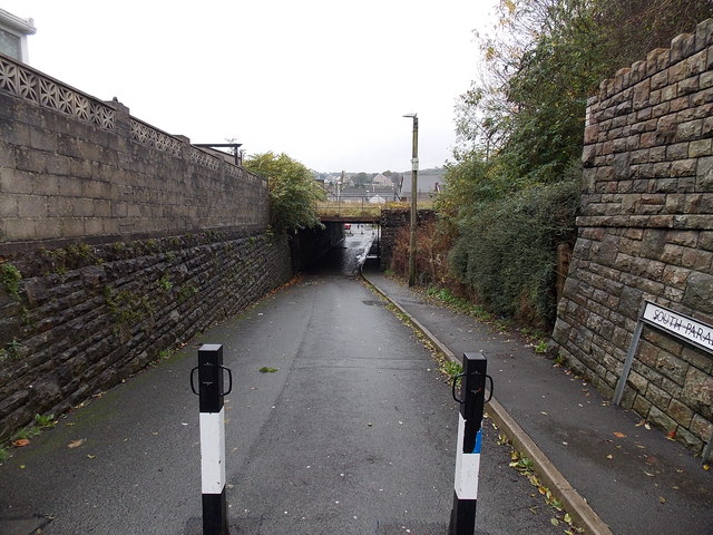
Image: © Jaggery Taken: 30 Oct 2014
The headroom on the railway bridge east of Maesteg railway station is 8' 6". In 2014 vehicular access under the bridge is blocked by metal posts, though most motorbikes could probably get through. South Parade is on this side, Ferriers Row is on the far side.
Images are licensed for reuse under creativecommons.org/licenses/by-sa/2.0
Image Location
Latitude
51.609418
Longitude
-3.653182