Neenton Bridge
Introduction
The photograph on this page of Neenton Bridge by Nick Comley as part of the Geograph project.
The Geograph project started in 2005 with the aim of publishing, organising and preserving representative images for every square kilometre of Great Britain, Ireland and the Isle of Man.

There are currently over 7.5m images from over 14,400 individuals and you can help contribute to the project by visiting https://www.geograph.org.uk
Neenton Bridge
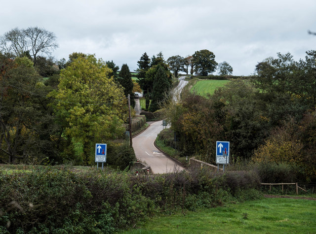
Image: © Nick Comley Taken: 23 Oct 2014
View from The Pheasant Inn orchard looking up the hill across Neenton Bridge
Images are licensed for reuse under creativecommons.org/licenses/by-sa/2.0
Image Location
Latitude
52.48664
Longitude
-2.534082