GVS Avoiding Curve
Introduction
The photograph on this page of GVS Avoiding Curve by N-a as part of the Geograph project.
The Geograph project started in 2005 with the aim of publishing, organising and preserving representative images for every square kilometre of Great Britain, Ireland and the Isle of Man.

There are currently over 7.5m images from over 14,400 individuals and you can help contribute to the project by visiting https://www.geograph.org.uk
GVS Avoiding Curve
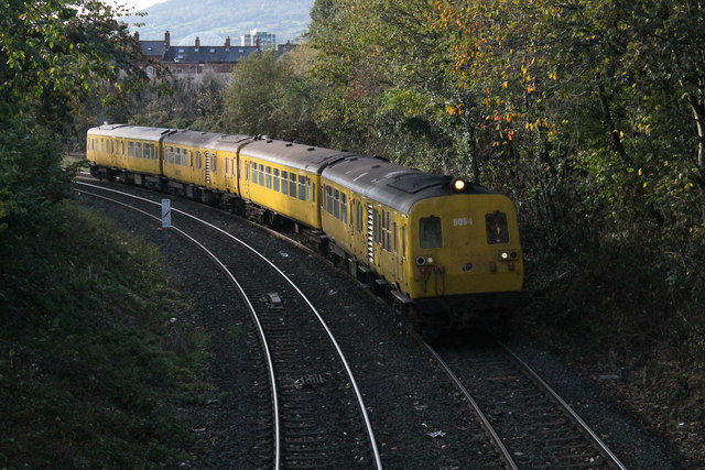
Image: © N-a Taken: 29 Oct 2014
NIR's 80 Class Sandite train rounds the GVS Avoiding Curve with the daytime sandite.
Images are licensed for reuse under creativecommons.org/licenses/by-sa/2.0
Image Location
Latitude
54.589867
Longitude
-5.946078