Inchbelly on the Forth & Clyde
Introduction
The photograph on this page of Inchbelly on the Forth & Clyde by Raymond Okonski as part of the Geograph project.
The Geograph project started in 2005 with the aim of publishing, organising and preserving representative images for every square kilometre of Great Britain, Ireland and the Isle of Man.

There are currently over 7.5m images from over 14,400 individuals and you can help contribute to the project by visiting https://www.geograph.org.uk
Inchbelly on the Forth & Clyde
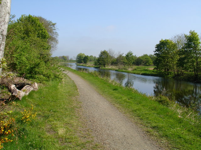
Image: © Raymond Okonski Taken: 3 May 2007
This early summer view of the canal is notable because of the Antonine Wall, which runs along the right bank, and is eventually breached by the canal as the canal bends to the right and takes over the alignment of the canal for around 100 metres.
Images are licensed for reuse under creativecommons.org/licenses/by-sa/2.0
Image Location
Latitude
55.947531
Longitude
-4.134846