Wick River Basin
Introduction
The photograph on this page of Wick River Basin by Mary and Angus Hogg as part of the Geograph project.
The Geograph project started in 2005 with the aim of publishing, organising and preserving representative images for every square kilometre of Great Britain, Ireland and the Isle of Man.

There are currently over 7.5m images from over 14,400 individuals and you can help contribute to the project by visiting https://www.geograph.org.uk
Wick River Basin
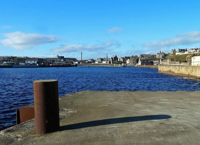
Image: © Mary and Angus Hogg Taken: 25 Oct 2014
Looking upstream at high tide on a bright and breezy late-October day.
Images are licensed for reuse under creativecommons.org/licenses/by-sa/2.0
Image Location
Latitude
58.442165
Longitude
-3.084629