White Hart pub, Yetminster
Introduction
The photograph on this page of White Hart pub, Yetminster by mike smith as part of the Geograph project.
The Geograph project started in 2005 with the aim of publishing, organising and preserving representative images for every square kilometre of Great Britain, Ireland and the Isle of Man.

There are currently over 7.5m images from over 14,400 individuals and you can help contribute to the project by visiting https://www.geograph.org.uk
White Hart pub, Yetminster
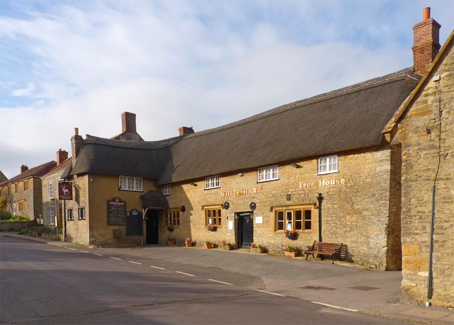
Image: © mike smith Taken: 28 Oct 2014
This free house has been built from local stone and dates from the late 16th century. It has been Grade II listed since 1951.
Images are licensed for reuse under creativecommons.org/licenses/by-sa/2.0
Image Location
Latitude
50.895691
Longitude
-2.579229