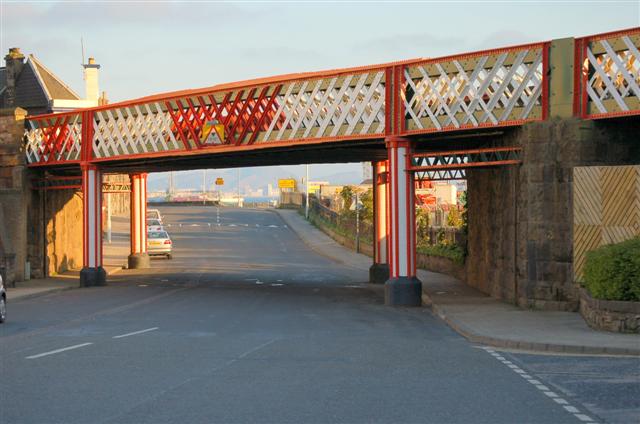
Burntisland viaduct
Introduction
The photograph on this page of Burntisland viaduct by Paul McIlroy as part of the Geograph project.
The Geograph project started in 2005 with the aim of publishing, organising and preserving representative images for every square kilometre of Great Britain, Ireland and the Isle of Man.
There are currently over 7.5m images from over 14,400 individuals and you can help contribute to the project by visiting https://www.geograph.org.uk

Image: © Paul McIlroy Taken: 3 May 2007
Burntisland Viaduct was constructed in 1888 and carries the main line from Edinburgh to Dundee. It comprises nine spans of half-through construction with wrought iron lattice main girders on each elevation supporting trough decking and ballasted track. The span geometry varies throughout. Six spans are simply supported on masonry piers, but the easternmost three are continuous over intermediate cast iron columns. The viaduct is a category C listed structure and forms a significant feature within the harbour area.

