Wyke Road
Introduction
The photograph on this page of Wyke Road by Neil Owen as part of the Geograph project.
The Geograph project started in 2005 with the aim of publishing, organising and preserving representative images for every square kilometre of Great Britain, Ireland and the Isle of Man.

There are currently over 7.5m images from over 14,400 individuals and you can help contribute to the project by visiting https://www.geograph.org.uk
Wyke Road
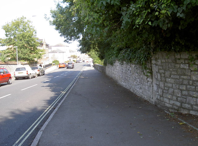
Image: © Neil Owen Taken: 3 Sep 2014
Looking downhill as the road spans the old GW & L&SW railway bridge. See Image] for a benchmark on the joint of the wall to the right,
Images are licensed for reuse under creativecommons.org/licenses/by-sa/2.0
Image Location
Latitude
50.604489
Longitude
-2.462596