Larch Farm Crossroads, Ravenshead, Notts
Introduction
The photograph on this page of Larch Farm Crossroads, Ravenshead, Notts by David Hallam-Jones as part of the Geograph project.
The Geograph project started in 2005 with the aim of publishing, organising and preserving representative images for every square kilometre of Great Britain, Ireland and the Isle of Man.

There are currently over 7.5m images from over 14,400 individuals and you can help contribute to the project by visiting https://www.geograph.org.uk
Larch Farm Crossroads, Ravenshead, Notts
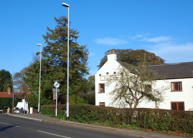
Image: © David Hallam-Jones Taken: 28 Oct 2014
This former farm, now a public house and restaurant with bed & breakfast facilities is shown on ancient maps that are held at nearby Newstead Abbey to have been here since at least 1825. This is a view of the B6020 (Kirkby-in-Ashfield to Blidworth road) as it joins the A60 (Nottingham to Mansfield road), with Blidworth lying several miles back behind the photographer. The car ahead is travelling in the Mansfield direction. Until 1785 however, it seems that the main highway between Nottingham and Mansfield passed through Papplewick and Newstead Abbey, rejoining its present route on the other side of Larch Farm, i.e. to the north of it. The former route, known as The King’s Way, passed through Thieves Wood - part of the Royal Wood of Lyndhurst - and it is posited that it was the all too frequent fate of unfortunate travellers that gave this wood its name.
Images are licensed for reuse under creativecommons.org/licenses/by-sa/2.0
Image Location
Latitude
53.092156
Longitude
-1.177486