Farmland near Shearins Leas Farm
Introduction
The photograph on this page of Farmland near Shearins Leas Farm by Robin Webster as part of the Geograph project.
The Geograph project started in 2005 with the aim of publishing, organising and preserving representative images for every square kilometre of Great Britain, Ireland and the Isle of Man.

There are currently over 7.5m images from over 14,400 individuals and you can help contribute to the project by visiting https://www.geograph.org.uk
Farmland near Shearins Leas Farm
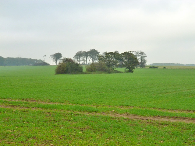
Image: © Robin Webster Taken: 28 Oct 2014
The near few trees are the remains of a small wood which was about 1-1/2 acres in Victorian times. It is strange this tiny fragment was left after the rest was removed from the 1930s onwards.
Images are licensed for reuse under creativecommons.org/licenses/by-sa/2.0
Image Location
Latitude
51.115151
Longitude
1.11833