Hungryside Bridge
Introduction
The photograph on this page of Hungryside Bridge by Raymond Okonski as part of the Geograph project.
The Geograph project started in 2005 with the aim of publishing, organising and preserving representative images for every square kilometre of Great Britain, Ireland and the Isle of Man.

There are currently over 7.5m images from over 14,400 individuals and you can help contribute to the project by visiting https://www.geograph.org.uk
Hungryside Bridge
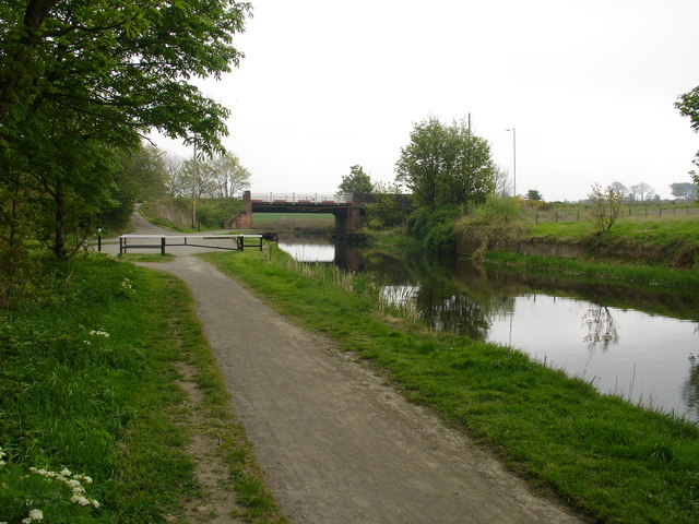
Image: © Raymond Okonski Taken: 3 May 2007
Originally a lifting bridge on the Forth & Clyde Canal, the road deck hinged on the right to allow the masts of boats and sailing ships passage along the canal. Closed in 1962, the canal was reopened again after Millennium funding. The bridge however does not open, it was decided that the clearance from water level to the bridge deck was high enough for recreational purposes.
Images are licensed for reuse under creativecommons.org/licenses/by-sa/2.0
Image Location
Latitude
55.931283
Longitude
-4.205193