133, Jemmett Road
Introduction
The photograph on this page of 133, Jemmett Road by John Baker as part of the Geograph project.
The Geograph project started in 2005 with the aim of publishing, organising and preserving representative images for every square kilometre of Great Britain, Ireland and the Isle of Man.

There are currently over 7.5m images from over 14,400 individuals and you can help contribute to the project by visiting https://www.geograph.org.uk
133, Jemmett Road
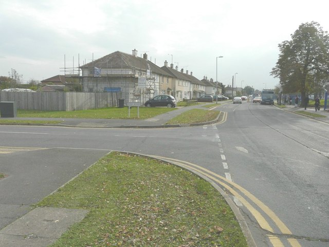
Image: © John Baker Taken: 22 Oct 2014
Situated on the corner of Bond Road, the house had had scaffolding erected on its side, back and front elevations. Planning permission has been granted by Ashford Borough Council under application number 13/01241/AS for “erection of a second floor side extension and conversion of garage into habitable accommodation”.
Images are licensed for reuse under creativecommons.org/licenses/by-sa/2.0
Image Location
Latitude
51.139253
Longitude
0.86188