Junction of the B3054 and Undershore Road, Walhampton
Introduction
The photograph on this page of Junction of the B3054 and Undershore Road, Walhampton by Jaggery as part of the Geograph project.
The Geograph project started in 2005 with the aim of publishing, organising and preserving representative images for every square kilometre of Great Britain, Ireland and the Isle of Man.

There are currently over 7.5m images from over 14,400 individuals and you can help contribute to the project by visiting https://www.geograph.org.uk
Junction of the B3054 and Undershore Road, Walhampton
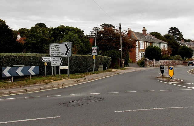
Image: © Jaggery Taken: 27 Sep 2014
Viewed across the B3054 looking along Undershore Road. To the left, the B3054 is Undershore leading to Walhampton Hill on the road to Beaulieu. The B3054 in the lower right corner is Bridge Road, towards Lymington, Lyndhurst and Southampton. Ahead, Undershore Road leads to the Isle of Wight Ferry terminal and Lymington Pier railway station.
Images are licensed for reuse under creativecommons.org/licenses/by-sa/2.0
Image Location
Latitude
50.763924
Longitude
-1.53502