Aerial View of Woodperry House, Oxfordshire
Introduction
The photograph on this page of Aerial View of Woodperry House, Oxfordshire by Dave Price as part of the Geograph project.
The Geograph project started in 2005 with the aim of publishing, organising and preserving representative images for every square kilometre of Great Britain, Ireland and the Isle of Man.

There are currently over 7.5m images from over 14,400 individuals and you can help contribute to the project by visiting https://www.geograph.org.uk
Aerial View of Woodperry House, Oxfordshire
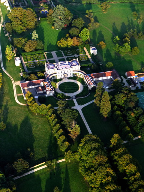
Image: © Dave Price Taken: 2 Sep 2014
Dating from 1728 see http://en.wikipedia.org/wiki/Woodperry_House
Images are licensed for reuse under creativecommons.org/licenses/by-sa/2.0
Image Location
Latitude
51.789486
Longitude
-1.167315