Mediaeval cross base near Bolton-by-Bowland
Introduction
The photograph on this page of Mediaeval cross base near Bolton-by-Bowland by Karl and Ali as part of the Geograph project.
The Geograph project started in 2005 with the aim of publishing, organising and preserving representative images for every square kilometre of Great Britain, Ireland and the Isle of Man.

There are currently over 7.5m images from over 14,400 individuals and you can help contribute to the project by visiting https://www.geograph.org.uk
Mediaeval cross base near Bolton-by-Bowland
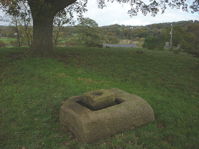
Image: © Karl and Ali Taken: 25 Oct 2014
This appears to have once been part of a wayside cross http://www.bolton-by-bowland.org/waysidecross.html
Images are licensed for reuse under creativecommons.org/licenses/by-sa/2.0
Image Location


Leaflet Map data © OpenStreetMap
Latitude
53.935663
Longitude
-2.3343