Improved grassland on the south side of Shaughan Road
Introduction
The photograph on this page of Improved grassland on the south side of Shaughan Road by Eric Jones as part of the Geograph project.
The Geograph project started in 2005 with the aim of publishing, organising and preserving representative images for every square kilometre of Great Britain, Ireland and the Isle of Man.

There are currently over 7.5m images from over 14,400 individuals and you can help contribute to the project by visiting https://www.geograph.org.uk
Improved grassland on the south side of Shaughan Road
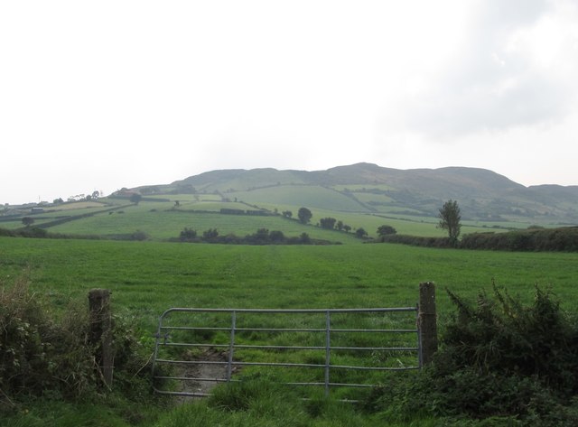
Image: © Eric Jones Taken: 12 Sep 2014
This is very much an area of pastoral farming. The image shows how improved farmland extends high on the upper slopes of the Ring of Gullion hills.
Images are licensed for reuse under creativecommons.org/licenses/by-sa/2.0
Image Location
Latitude
54.155856
Longitude
-6.483842