Mill Cottages and Burnside Belts
Introduction
The photograph on this page of Mill Cottages and Burnside Belts by Stanley Howe as part of the Geograph project.
The Geograph project started in 2005 with the aim of publishing, organising and preserving representative images for every square kilometre of Great Britain, Ireland and the Isle of Man.

There are currently over 7.5m images from over 14,400 individuals and you can help contribute to the project by visiting https://www.geograph.org.uk
Mill Cottages and Burnside Belts
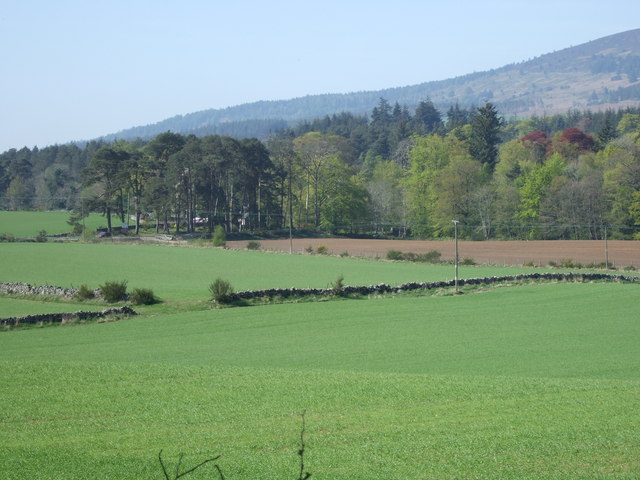
Image: © Stanley Howe Taken: 3 May 2007
View towards the Raemoir junction from the corner of Hawthorn Wood. The rise of Hill of Fare is in the right rear.
Images are licensed for reuse under creativecommons.org/licenses/by-sa/2.0
Image Location
Latitude
57.080625
Longitude
-2.506763