Scotswood
Introduction
The photograph on this page of Scotswood by Bobby Clegg as part of the Geograph project.
The Geograph project started in 2005 with the aim of publishing, organising and preserving representative images for every square kilometre of Great Britain, Ireland and the Isle of Man.

There are currently over 7.5m images from over 14,400 individuals and you can help contribute to the project by visiting https://www.geograph.org.uk
Scotswood
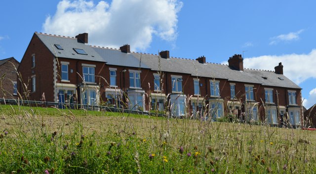
Image: © Bobby Clegg Taken: 21 Jun 2014
This row of terrace is situated on Whitfield Road between Ouston Street and Parmontley Street in Scotswood. The grassy bank in the foreground would have been streets of terraced housing not too long ago.
Images are licensed for reuse under creativecommons.org/licenses/by-sa/2.0
Image Location
Latitude
54.970585
Longitude
-1.690365