Croydon: Church Street, from Crown Hill
Introduction
The photograph on this page of Croydon: Church Street, from Crown Hill by Dr Neil Clifton as part of the Geograph project.
The Geograph project started in 2005 with the aim of publishing, organising and preserving representative images for every square kilometre of Great Britain, Ireland and the Isle of Man.

There are currently over 7.5m images from over 14,400 individuals and you can help contribute to the project by visiting https://www.geograph.org.uk
Croydon: Church Street, from Crown Hill
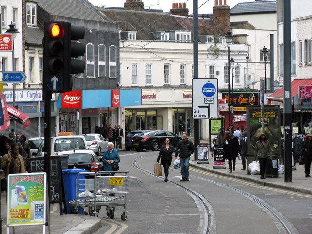
Image: © Dr Neil Clifton Taken: 26 Oct 2014
The tramline leads to Wimbledon with a branch round back to West and East Croydon stations.
Images are licensed for reuse under creativecommons.org/licenses/by-sa/2.0
Image Location
Latitude
51.37336
Longitude
-0.102364