Croydon: Town Hall frontage
Introduction
The photograph on this page of Croydon: Town Hall frontage by Dr Neil Clifton as part of the Geograph project.
The Geograph project started in 2005 with the aim of publishing, organising and preserving representative images for every square kilometre of Great Britain, Ireland and the Isle of Man.

There are currently over 7.5m images from over 14,400 individuals and you can help contribute to the project by visiting https://www.geograph.org.uk
Croydon: Town Hall frontage
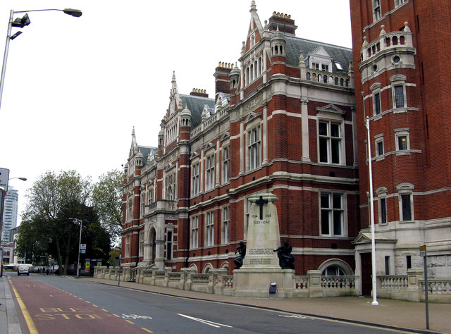
Image: © Dr Neil Clifton Taken: 26 Oct 2014
On Katharine Street. If only the horrible 1960s block opposite could be demolished and a garden put in its place, the Town Hall could be seen to full advantage.
Images are licensed for reuse under creativecommons.org/licenses/by-sa/2.0
Image Location
Latitude
51.372138
Longitude
-0.09911