The road to Santon
Introduction
The photograph on this page of The road to Santon by Bob Embleton as part of the Geograph project.
The Geograph project started in 2005 with the aim of publishing, organising and preserving representative images for every square kilometre of Great Britain, Ireland and the Isle of Man.

There are currently over 7.5m images from over 14,400 individuals and you can help contribute to the project by visiting https://www.geograph.org.uk
The road to Santon
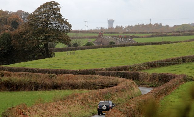
Image: © Bob Embleton Taken: 23 Oct 2014
Taken from Hall Flat Farm. Looking towards the houses of Santon and the tower of Sellafield in the far distance.
Images are licensed for reuse under creativecommons.org/licenses/by-sa/2.0
Image Location
Latitude
54.402308
Longitude
-3.381602