Sad horse near Storrs
Introduction
The photograph on this page of Sad horse near Storrs by Neil Theasby as part of the Geograph project.
The Geograph project started in 2005 with the aim of publishing, organising and preserving representative images for every square kilometre of Great Britain, Ireland and the Isle of Man.

There are currently over 7.5m images from over 14,400 individuals and you can help contribute to the project by visiting https://www.geograph.org.uk
Sad horse near Storrs
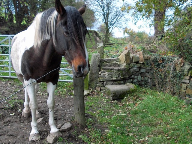
Image: © Neil Theasby Taken: 26 Oct 2014
Next to the public footpath that leads to Damflask Reservoir.
Images are licensed for reuse under creativecommons.org/licenses/by-sa/2.0
Image Location
Latitude
53.404311
Longitude
-1.563011