Houses, west side of Alcester Road, Wythall
Introduction
The photograph on this page of Houses, west side of Alcester Road, Wythall by Robin Stott as part of the Geograph project.
The Geograph project started in 2005 with the aim of publishing, organising and preserving representative images for every square kilometre of Great Britain, Ireland and the Isle of Man.

There are currently over 7.5m images from over 14,400 individuals and you can help contribute to the project by visiting https://www.geograph.org.uk
Houses, west side of Alcester Road, Wythall
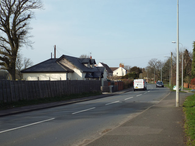
Image: © Robin Stott Taken: 29 Mar 2014
The 1884 OS map shows well-spread out modest properties along here, while the east side of Alcester Road was largely undeveloped.
Images are licensed for reuse under creativecommons.org/licenses/by-sa/2.0
Image Location
Latitude
52.376224
Longitude
-1.884936