Fallen down
Introduction
The photograph on this page of Fallen down by Donnylad as part of the Geograph project.
The Geograph project started in 2005 with the aim of publishing, organising and preserving representative images for every square kilometre of Great Britain, Ireland and the Isle of Man.

There are currently over 7.5m images from over 14,400 individuals and you can help contribute to the project by visiting https://www.geograph.org.uk
Fallen down
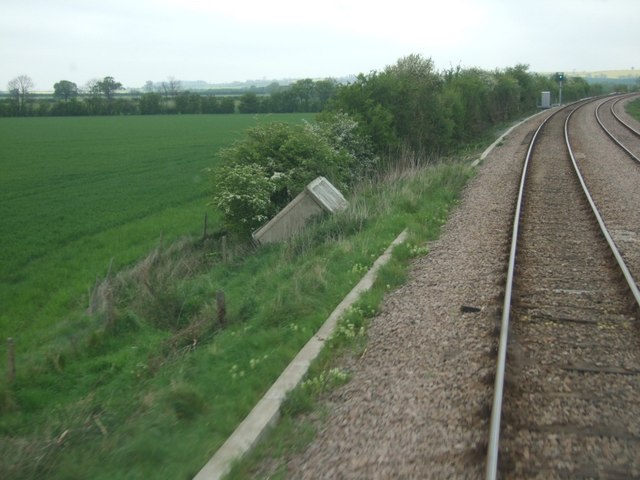
Image: © Donnylad Taken: 2 May 2006
Precast concrete fogmans hut lies abandoned after toppling down the embankment at the side of the rail line from Allington to Ancaster.
Images are licensed for reuse under creativecommons.org/licenses/by-sa/2.0
Image Location
Latitude
52.96532
Longitude
-0.655199