Standhill Farm and Creamery
Introduction
The photograph on this page of Standhill Farm and Creamery by Oliver Dixon as part of the Geograph project.
The Geograph project started in 2005 with the aim of publishing, organising and preserving representative images for every square kilometre of Great Britain, Ireland and the Isle of Man.

There are currently over 7.5m images from over 14,400 individuals and you can help contribute to the project by visiting https://www.geograph.org.uk
Standhill Farm and Creamery
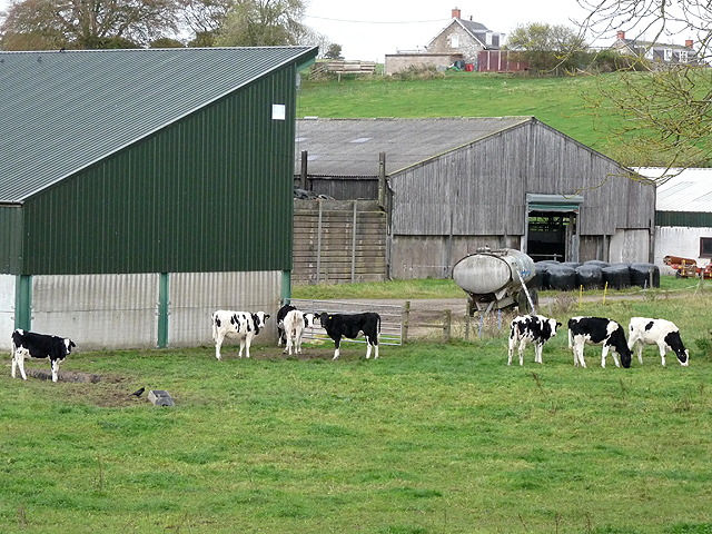
Image: © Oliver Dixon Taken: 24 Oct 2014
The farm straddles the trackbed of the old Waverley line (Carlisle to Edinburgh main line), opened 1849, closed 1969.
Images are licensed for reuse under creativecommons.org/licenses/by-sa/2.0
Image Location
Latitude
55.501421
Longitude
-2.693818