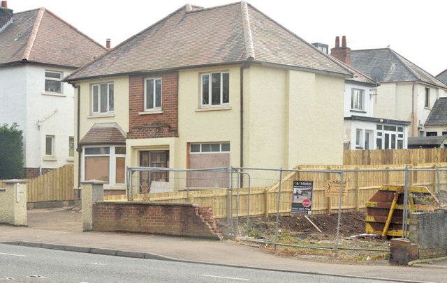
No 517 Upper Newtownards Road, Belfast (October 2014)
Introduction
The photograph on this page of No 517 Upper Newtownards Road, Belfast (October 2014) by Albert Bridge as part of the Geograph project.
The Geograph project started in 2005 with the aim of publishing, organising and preserving representative images for every square kilometre of Great Britain, Ireland and the Isle of Man.
There are currently over 7.5m images from over 14,400 individuals and you can help contribute to the project by visiting https://www.geograph.org.uk

Image: © Albert Bridge Taken: 25 Oct 2014
The “for sale” sign, at this long-vacant house, has been removed. The site of the former no 515 (right) is in the process of being tidied. Checking old street directories for the date of construction is not so easy. The houses have been renumbered following post-WW1 development but it seems likely to have been built after the construction of Parliament Buildings, Stormont - a time which saw the locality becoming popular with civil servants.

