Ardglass
Introduction
The photograph on this page of Ardglass by N-a as part of the Geograph project.
The Geograph project started in 2005 with the aim of publishing, organising and preserving representative images for every square kilometre of Great Britain, Ireland and the Isle of Man.

There are currently over 7.5m images from over 14,400 individuals and you can help contribute to the project by visiting https://www.geograph.org.uk
Ardglass
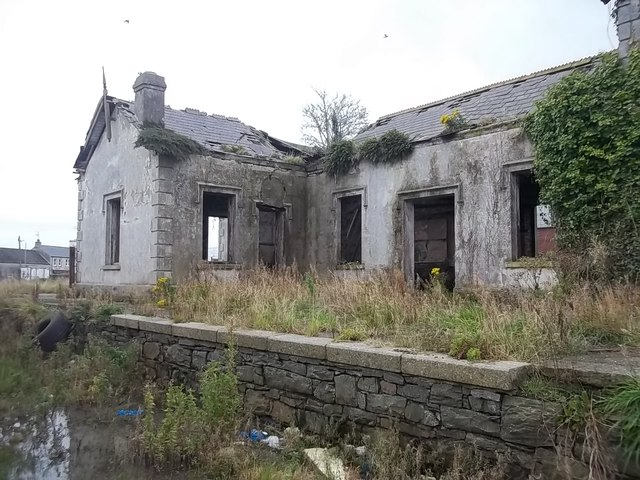
Image: © N-a Taken: 14 Oct 2012
Ardglass opened in 1892 as the terminus of the Downpatrick, Killough & Ardglass Railway. It closed, along with the line in 1950 as part of the UTA's savage closure programme, leaving the County Down fishing village without a railway.
Images are licensed for reuse under creativecommons.org/licenses/by-sa/2.0
Image Location
Latitude
54.263196
Longitude
-5.611467