Tro Cwm Mynys / Cwm Mynyd bend
Introduction
The photograph on this page of Tro Cwm Mynys / Cwm Mynyd bend by Alan Richards as part of the Geograph project.
The Geograph project started in 2005 with the aim of publishing, organising and preserving representative images for every square kilometre of Great Britain, Ireland and the Isle of Man.

There are currently over 7.5m images from over 14,400 individuals and you can help contribute to the project by visiting https://www.geograph.org.uk
Tro Cwm Mynys / Cwm Mynyd bend
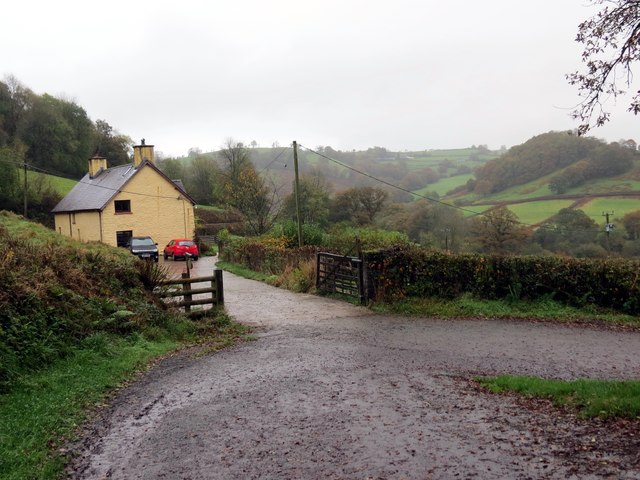
Image: © Alan Richards Taken: 24 Oct 2014
Tro ar hewl ger anhedd-dy o'r enw Cwm Mynys Isaf a welir yn y pellter. A sharp bend on a road near a property known as Cwm Mynys Isaf visible in the distance.
Images are licensed for reuse under creativecommons.org/licenses/by-sa/2.0
Image Location
Latitude
51.988995
Longitude
-3.856317