OSBM Flush Bracket S0759 - Tregaron, Bryn Caron
Introduction
The photograph on this page of OSBM Flush Bracket S0759 - Tregaron, Bryn Caron by N Scott as part of the Geograph project.
The Geograph project started in 2005 with the aim of publishing, organising and preserving representative images for every square kilometre of Great Britain, Ireland and the Isle of Man.

There are currently over 7.5m images from over 14,400 individuals and you can help contribute to the project by visiting https://www.geograph.org.uk
OSBM Flush Bracket S0759 - Tregaron, Bryn Caron
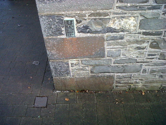
Image: © N Scott Taken: 24 Oct 2014
Ordnance Survey Benchmark (OSBM) used for levelling height above Ordnance Datum (OD). Height (1971): 170.0780m OD (Newlyn). Mark verified by the Ordnance Survey in 1971. Description: FL BR S0759 BRYNCARON SE SIDE RD N ANG NW FACE. 0.9m above ground. 2nd Order BM. The bracket was used on the Lampeter to Devil's Bridge secondary line of the Second Geodetic Levelling of England & Wales in 1952. It was levelled with a height of 558.109' above OD (Newlyn). Description: Flush Bracket on NW angle of house, SE side of road, at junction of roads. Abstract S 1: http://discovery.nationalarchives.gov.uk/details/r/C11225255 [OS 54/633] Close-up: Image
Images are licensed for reuse under creativecommons.org/licenses/by-sa/2.0
Image Location
Latitude
52.220827
Longitude
-3.933025