Curr Burn
Introduction
The photograph on this page of Curr Burn by Bert Adams as part of the Geograph project.
The Geograph project started in 2005 with the aim of publishing, organising and preserving representative images for every square kilometre of Great Britain, Ireland and the Isle of Man.

There are currently over 7.5m images from over 14,400 individuals and you can help contribute to the project by visiting https://www.geograph.org.uk
Curr Burn
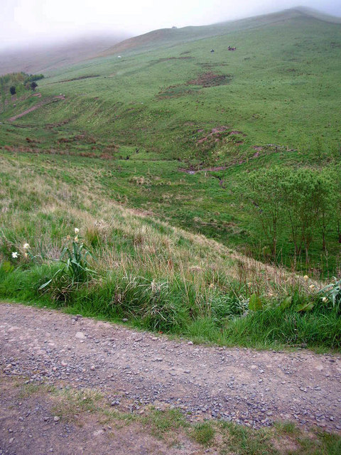
Image: © Bert Adams Taken: 3 May 2007
Looking down into the burn and valley from the right of way track
Images are licensed for reuse under creativecommons.org/licenses/by-sa/2.0
Image Location


Leaflet Map data © OpenStreetMap
Latitude
55.513087
Longitude
-2.259032