Northeast on Barkers Lane, Inkford
Introduction
The photograph on this page of Northeast on Barkers Lane, Inkford by Robin Stott as part of the Geograph project.
The Geograph project started in 2005 with the aim of publishing, organising and preserving representative images for every square kilometre of Great Britain, Ireland and the Isle of Man.

There are currently over 7.5m images from over 14,400 individuals and you can help contribute to the project by visiting https://www.geograph.org.uk
Northeast on Barkers Lane, Inkford
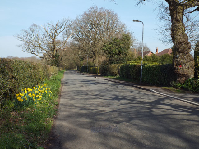
Image: © Robin Stott Taken: 29 Mar 2014
Rooftops reveal the patchy ribbon development along Barkers Lane. It leads to Tanner's Green – the names evoke past rural industry in the Arden woods.
Images are licensed for reuse under creativecommons.org/licenses/by-sa/2.0
Image Location
Latitude
52.365164
Longitude
-1.882615