Rugby-Woodside Park
Introduction
The photograph on this page of Rugby-Woodside Park by Ian Rob as part of the Geograph project.
The Geograph project started in 2005 with the aim of publishing, organising and preserving representative images for every square kilometre of Great Britain, Ireland and the Isle of Man.

There are currently over 7.5m images from over 14,400 individuals and you can help contribute to the project by visiting https://www.geograph.org.uk
Rugby-Woodside Park
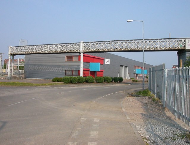
Image: © Ian Rob Taken: 29 Apr 2007
Industrial Units near the remains of footbridge which used to cross the Marshalling Yard into the Alstom Works. It was dismantled in 2006.
Images are licensed for reuse under creativecommons.org/licenses/by-sa/2.0
Image Location
Latitude
52.379716
Longitude
-1.259538