Looking east-southeast along Willowbank
Introduction
The photograph on this page of Looking east-southeast along Willowbank by John Baker as part of the Geograph project.
The Geograph project started in 2005 with the aim of publishing, organising and preserving representative images for every square kilometre of Great Britain, Ireland and the Isle of Man.

There are currently over 7.5m images from over 14,400 individuals and you can help contribute to the project by visiting https://www.geograph.org.uk
Looking east-southeast along Willowbank
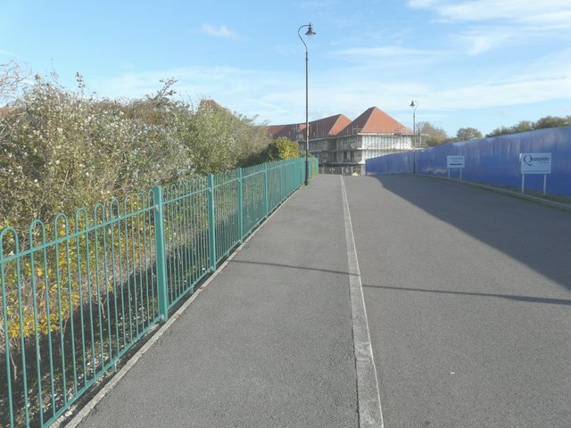
Image: © John Baker Taken: 19 Oct 2014
Compared with Image taken on 2 July, another block of housing has been built. Willowbank is the name of the road that leads, from Ramsgate Road, into a new housing development still under construction, known as Knots of Willowbank. The development is a collection of one and two bedroom apartments and three and four bedroom homes http://quaysidehomes.co.uk/current-developments/knots
Images are licensed for reuse under creativecommons.org/licenses/by-sa/2.0
Image Location
Latitude
51.276231
Longitude
1.34363