Castle Meadow, Wilton
Introduction
The photograph on this page of Castle Meadow, Wilton by Derek Harper as part of the Geograph project.
The Geograph project started in 2005 with the aim of publishing, organising and preserving representative images for every square kilometre of Great Britain, Ireland and the Isle of Man.

There are currently over 7.5m images from over 14,400 individuals and you can help contribute to the project by visiting https://www.geograph.org.uk
Castle Meadow, Wilton
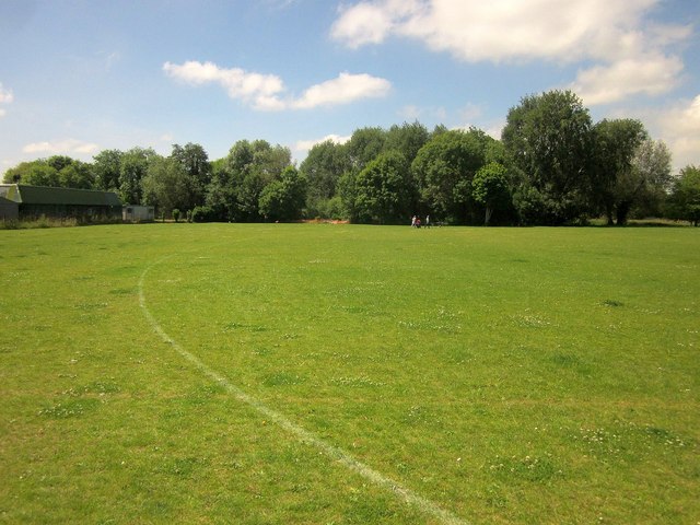
Image: © Derek Harper Taken: 19 Jun 2014
This playing field has been levelled and re-seeded in recent years. The trees are along a channel of the River Wylye.
Images are licensed for reuse under creativecommons.org/licenses/by-sa/2.0
Image Location
Latitude
51.082739
Longitude
-1.862613