Hadrian's Wall Path at Lemington
Introduction
The photograph on this page of Hadrian's Wall Path at Lemington by Bobby Clegg as part of the Geograph project.
The Geograph project started in 2005 with the aim of publishing, organising and preserving representative images for every square kilometre of Great Britain, Ireland and the Isle of Man.

There are currently over 7.5m images from over 14,400 individuals and you can help contribute to the project by visiting https://www.geograph.org.uk
Hadrian's Wall Path at Lemington
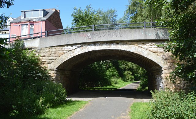
Image: © Bobby Clegg Taken: 21 Jun 2014
A view of the flattened arch sandstone and brick lined overbridge that carries Northumberland Road over the ex Scotswood, Newburn & Wylam Railway.
Images are licensed for reuse under creativecommons.org/licenses/by-sa/2.0
Image Location
Latitude
54.976756
Longitude
-1.715002