Southbound A435 Alcester Road and slip road south of Inkford
Introduction
The photograph on this page of Southbound A435 Alcester Road and slip road south of Inkford by Robin Stott as part of the Geograph project.
The Geograph project started in 2005 with the aim of publishing, organising and preserving representative images for every square kilometre of Great Britain, Ireland and the Isle of Man.

There are currently over 7.5m images from over 14,400 individuals and you can help contribute to the project by visiting https://www.geograph.org.uk
Southbound A435 Alcester Road and slip road south of Inkford
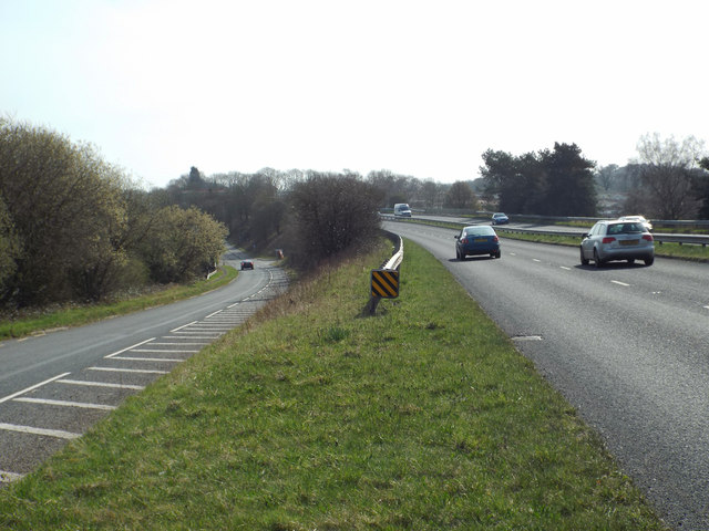
Image: © Robin Stott Taken: 29 Mar 2014
The slip road leads to a pub, the Horse and Jockey; a turning under the A435 leads to Watery Lane and Hillcrest Park, a residential caravan site.
Images are licensed for reuse under creativecommons.org/licenses/by-sa/2.0
Image Location
Latitude
52.361844
Longitude
-1.889232